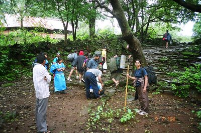
Getting ready at the base village.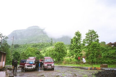 Rains started as we reached the base. Few of us had rainwear. For the rest, a large plastic sheet which we were carrying were cut and makeshift ponchos were made.
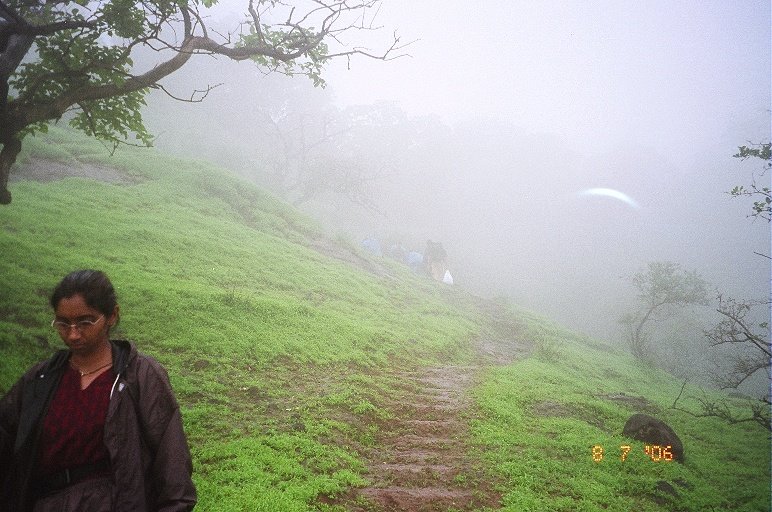
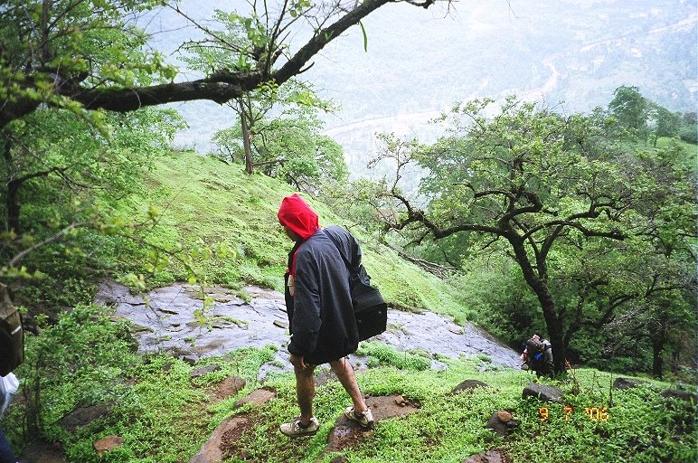
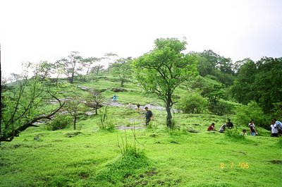
 Traversing the plains near the base village
 Warm-up climbs
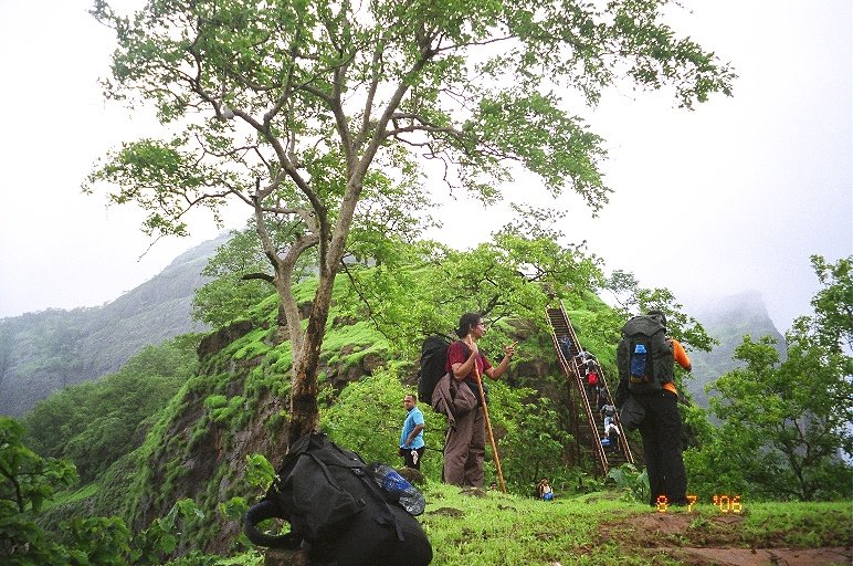
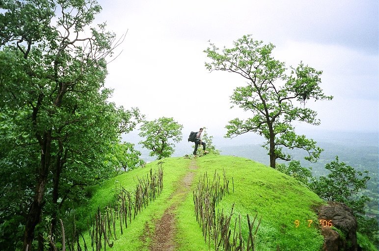
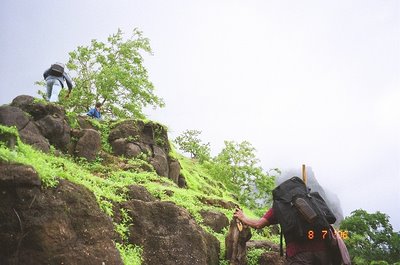 The short climb on to a small peak takes us to a ladder

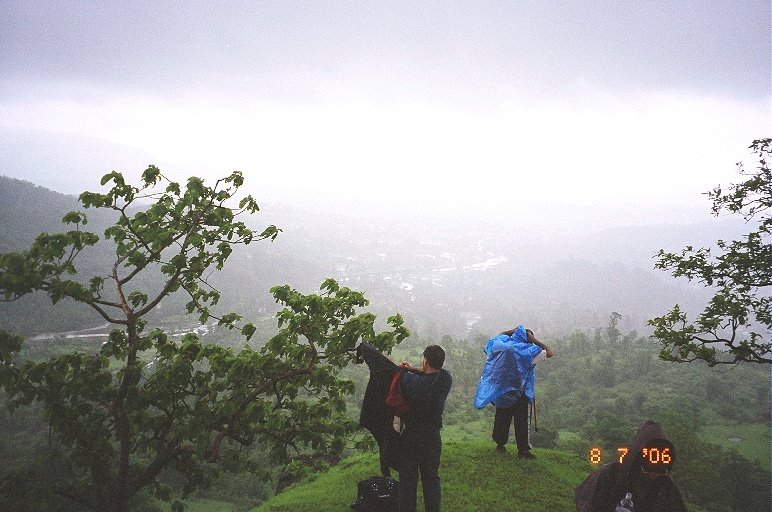
 Rain lashes again as we cross the ladder, forcing everyone to get back into the rain gear. Showers were intermittent making us shift between in and out of rainwear far too often
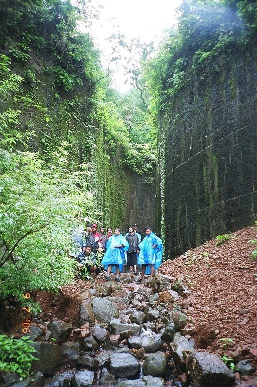
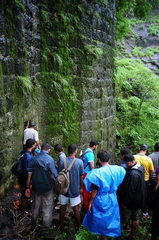
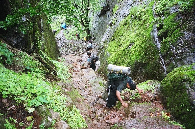
 A few kilometers ahead we come across the traces of the fort. A series of dilapidated and steep steps, between two ridges take us up
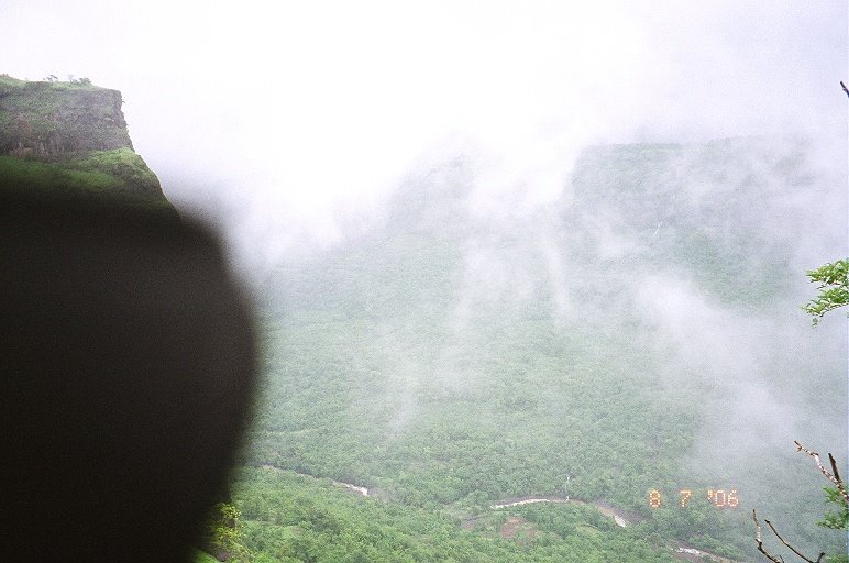
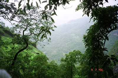
 Deep, down below the valley is the river with its muddy gushing water. The water is muddy since it has been raining non-stop on the top
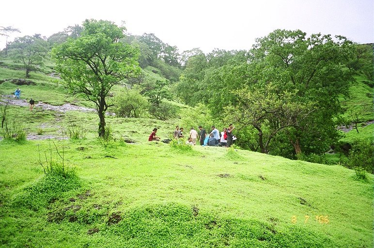
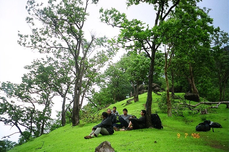
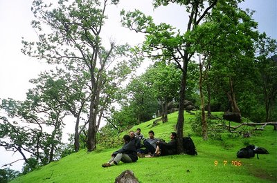
 After climbing for another 10 or 15 minutes, we stop for lunch and rest for some time

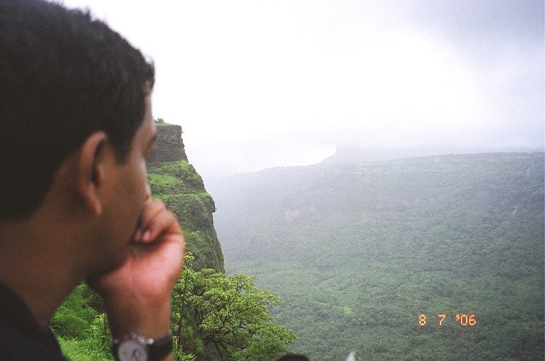
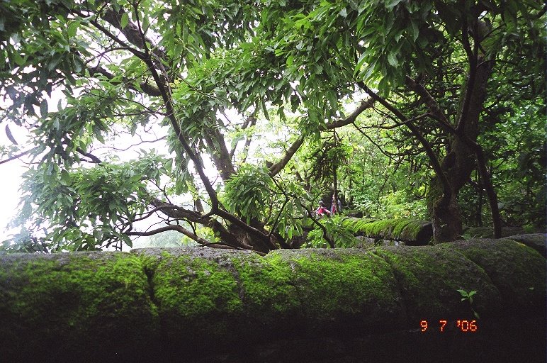
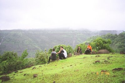
 Simply amazed at the nature's beauty
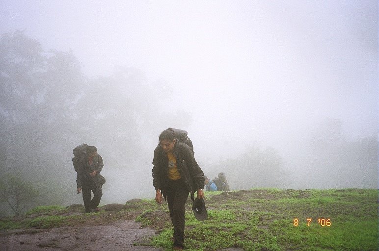
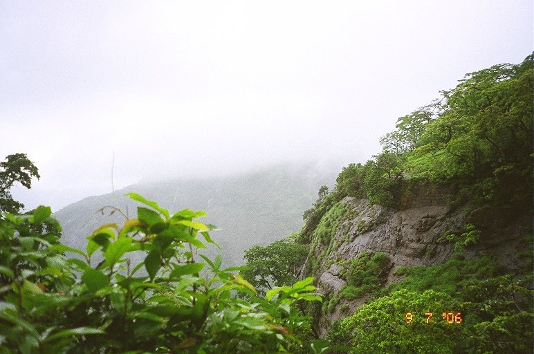
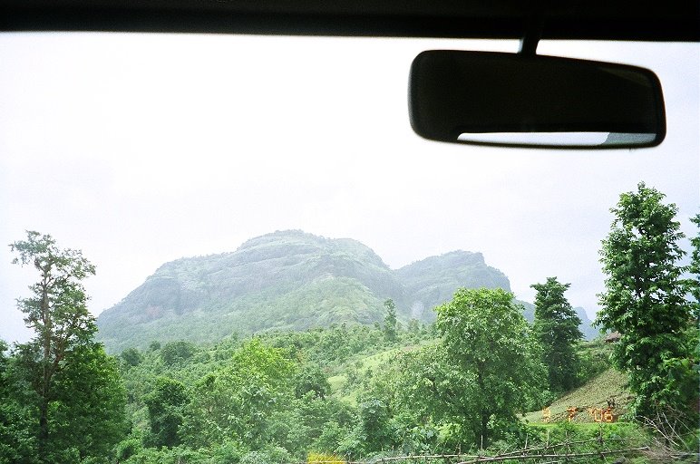
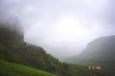
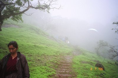
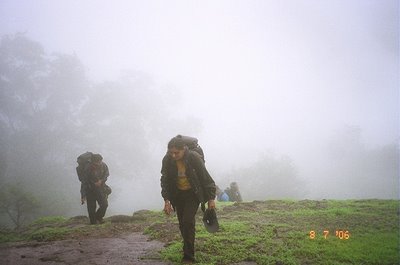
 The climb continues through the misty mountain trail...
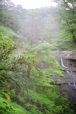
 passing water falls, streams and slippery rocks
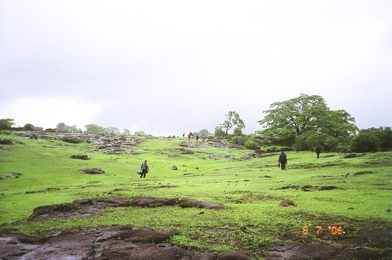
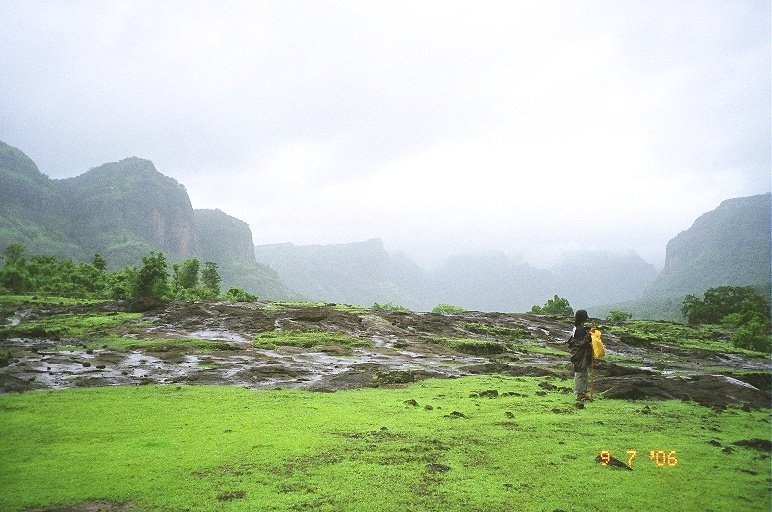
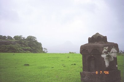
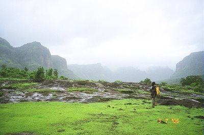
 Reaching the plateau on top. A long walk for another 10 minutes looking for an old structure and temples
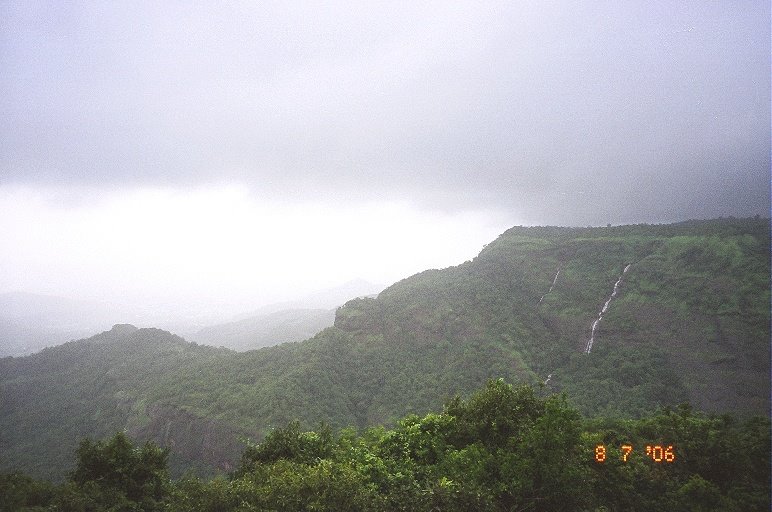
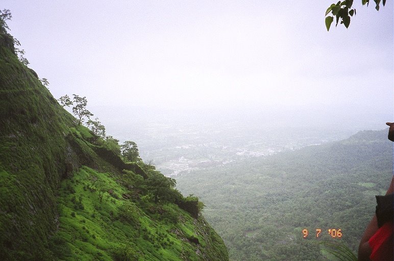
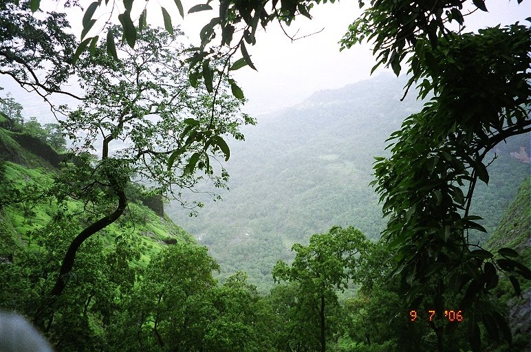
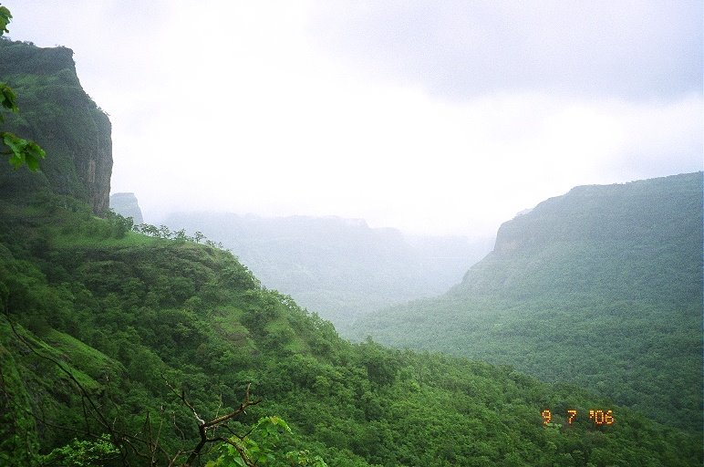
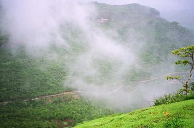
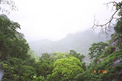
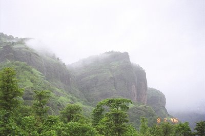
 View of adjacent mountains and valleys

 with countless number of water falls and lush greenery
 After some hot tea (a couple of people / tribals live on top who will cook for trekkers provided the provisions were given to them) we take a stroll in the plains and then relax, enjoying the drizzle and winds
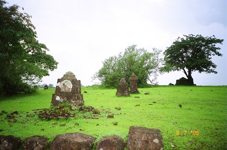
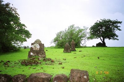
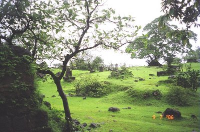
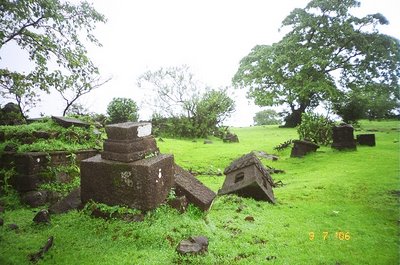
 The area near the temple is dotted with hundreds of tombs and mounements. Supposedly of many warriors and their wives who practiced 'Sati'
 -----------------------------------------------------------------------------
Day 2
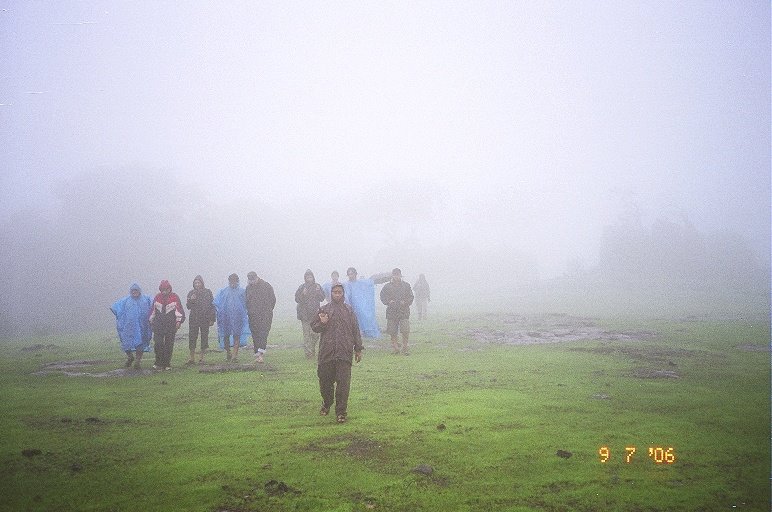
Day 2 started with the exploration of the fort. It was misty and visibility was near-zero
 Old dilpidated structures were storage areas for either food or arms and ammunitions
 After about 45 minutes of walk, we started descending down through one of the sides. There was a pathway, which took us to a darwaza in the middle of the forest. This was the route used to get elephants from the base to the top of the mountain


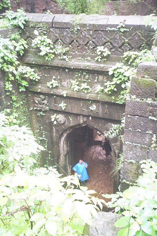
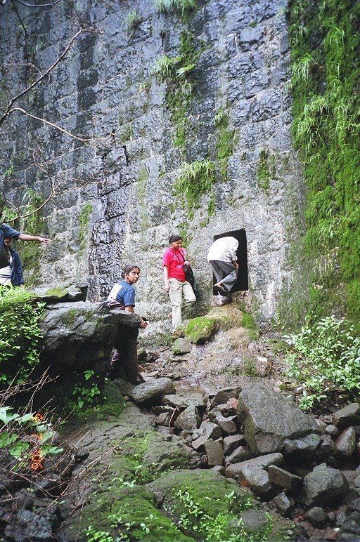
 A huge entrance at the middle of the forest was a bit scary. Stone walls were constructed along the steep slopes of the mountain.

 Back on top, after breakfast we set out to explore the 'Chor Darwaza', those secret exit passages in many a forts that is used by the soldiers to escape only to make a gureilla assualt later on their enemies
 Climbing down through narrow forest paths and slippery rocks, we again discover a stone wall.
 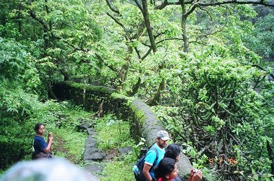 Through the sides we walk to a sudden, deep trench which takes us right through the wall
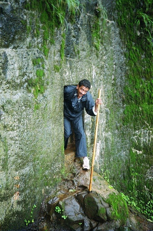
 A few feet below, we emerge out through the other side of the wall with a deep valley and a narrow path down


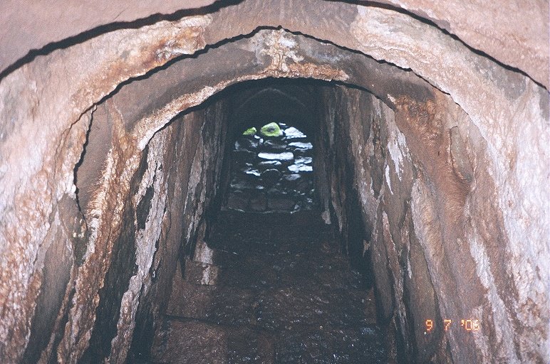
 The steps, right through the wall
 Back after exploring the Chor Darwaza

 Through the plateau on top, during our return journey. Seen far is the Taelbilla or the wall mountains
 The return journey

 Taking each step carefully
 A break


 After reaching at the base, we decided to move to the other side of the village, searching for the stream. And half-way, we loose our way
 Finally, we make it to the stream and spends a couple of hours in the water